FAA-H-8083-25C · Source PDF page 404
Navigation
Flight Planning · PHAK page 16-17
Searchable transcription
• Total distance—obtained by measuring the length of
the TC line on the chart (using the scale at the bottom
of the chart)
• GS—obtained by measuring the length of the TC line
on the wind triangle (using the scale employed for
drawing the diagram)
• Estimated time en route (ETE)—total distance divided
by GS
• Fuel rate—predetermined gallons per hour used at
cruising speed
NOTE: Additional fuel for adequate reserve should be added
as a safety measure.
Flight Planning
Title 14 of the Code of Federal Regulations (14 CFR) part
91 states, in part, that before beginning a flight, the pilot in
command (PIC) of an aircraft shall become familiar with all
available information concerning that flight. For flights not
in the vicinity of an airport, this must include information
on available current weather reports and forecasts, fuel
requirements, alternatives available if the planned flight
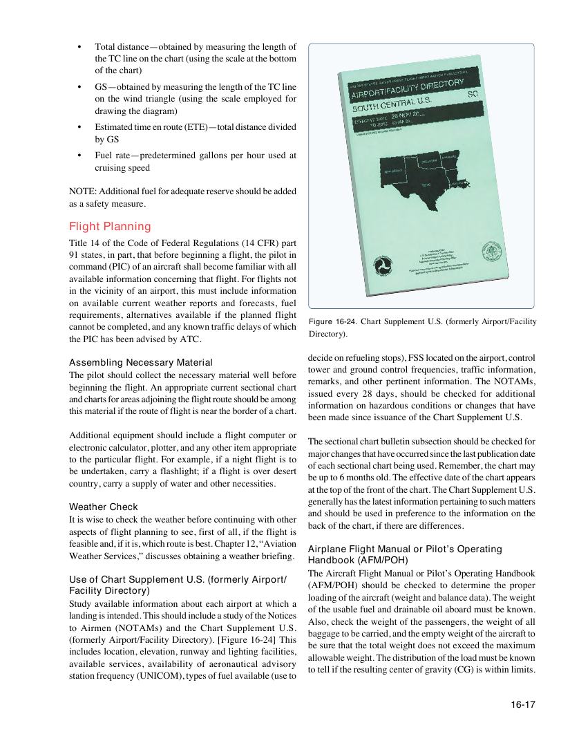
Figure 16-24. Chart Supplement U.S. (formerly Airport/Facility
cannot be completed, and any known traffic delays of which
Directory).
the PIC has been advised by ATC.
decide on refueling stops), FSS located on the airport, control
Assembling Necessary Material
tower and ground control frequencies, traffic information,
The pilot should collect the necessary material well before
remarks, and other pertinent information. The NOTAMs,
beginning the flight. An appropriate current sectional chart
issued every 28 days, should be checked for additional
and charts for areas adjoining the flight route should be among
information on hazardous conditions or changes that have
this material if the route of flight is near the border of a chart.
been made since issuance of the Chart Supplement U.S.
Additional equipment should include a flight computer or
The sectional chart bulletin subsection should be checked for
electronic calculator, plotter, and any other item appropriate
major changes that have occurred since the last publication date
to the particular flight. For example, if a night flight is to
of each sectional chart being used. Remember, the chart may
be undertaken, carry a flashlight; if a flight is over desert
be up to 6 months old. The effective date of the chart appears
country, carry a supply of water and other necessities.
at the top of the front of the chart. The Chart Supplement U.S.
generally has the latest information pertaining to such matters
Weather Check
and should be used in preference to the information on the
It is wise to check the weather before continuing with other
back of the chart, if there are differences.
aspects of flight planning to see, first of all, if the flight is
feasible and, if it is, which route is best. Chapter 12, “Aviation
Airplane Flight Manual or Pilot’s Operating
Weather Services,” discusses obtaining a weather briefing.
Handbook (AFM/POH)
The Aircraft Flight Manual or Pilot’s Operating Handbook
Use of Chart Supplement U.S. (formerly Airport/
(AFM/POH) should be checked to determine the proper
Facility Directory)
loading of the aircraft (weight and balance data). The weight
Study available information about each airport at which a
of the usable fuel and drainable oil aboard must be known.
landing is intended. This should include a study of the Notices
Also, check the weight of the passengers, the weight of all
to Airmen (NOTAMs) and the Chart Supplement U.S.
baggage to be carried, and the empty weight of the aircraft to
(formerly Airport/Facility Directory). [Figure 16-24] This
be sure that the total weight does not exceed the maximum
includes location, elevation, runway and lighting facilities,
allowable weight. The distribution of the load must be known
available services, availability of aeronautical advisory
to tell if the resulting center of gravity (CG) is within limits.
station frequency (UNICOM), types of fuel available (use to
16-17