FAA-H-8083-25C · Source PDF page 389
Navigation
Aeronautical Charts · PHAK page 16-2
Searchable transcription
Aeronautical Charts The charts provide an abundance of information, including
airport data, navigational aids, airspace, and topography.
An aeronautical chart is the road map for a pilot flying under
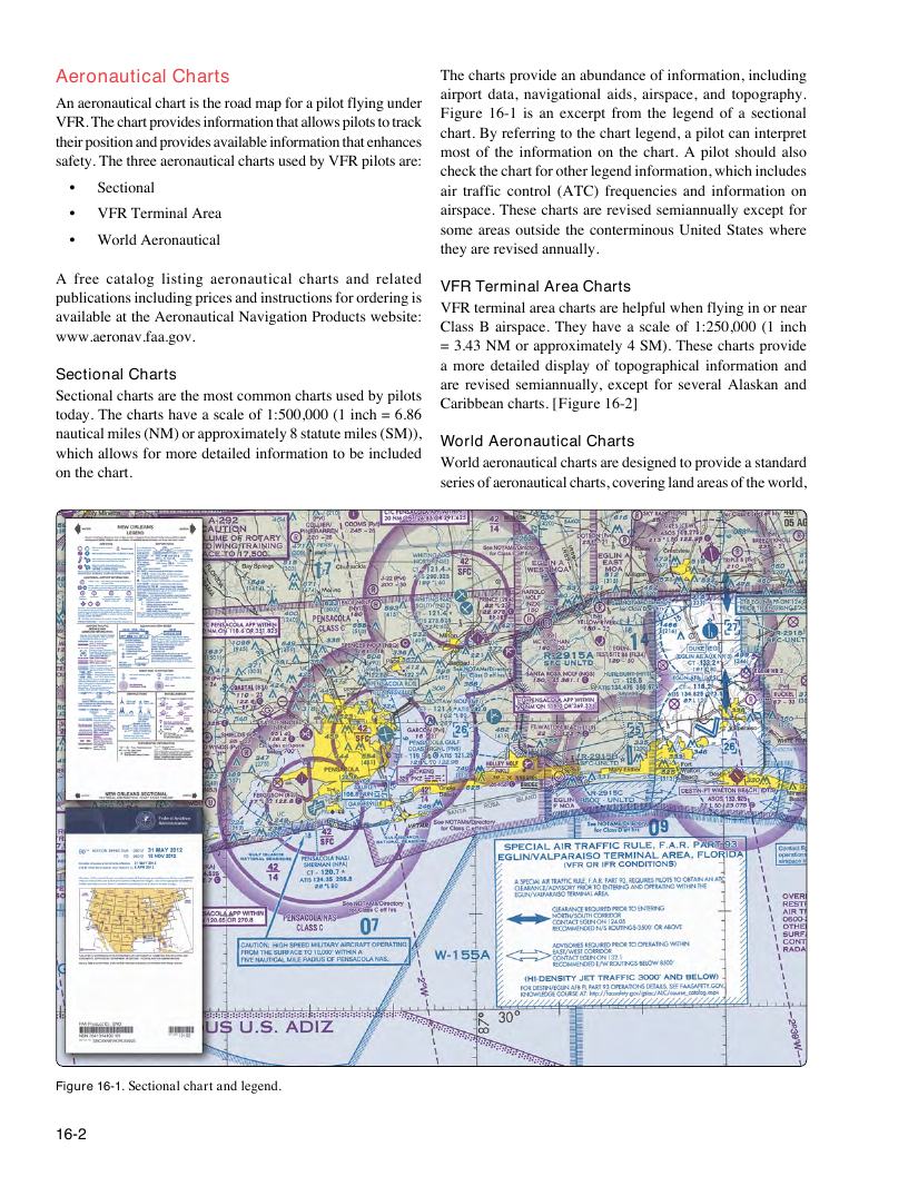
Figure 16-1 is an excerpt from the legend of a sectional
VFR. The chart provides information that allows pilots to track
chart. By referring to the chart legend, a pilot can interpret
their position and provides available information that enhances
most of the information on the chart. A pilot should also
safety. The three aeronautical charts used by VFR pilots are:
check the chart for other legend information, which includes
• Sectional air traffic control (ATC) frequencies and information on
• VFR Terminal Area airspace. These charts are revised semiannually except for
some areas outside the conterminous United States where
• World Aeronautical
they are revised annually.
A free catalog listing aeronautical charts and related
VFR Terminal Area Charts
publications including prices and instructions for ordering is
VFR terminal area charts are helpful when flying in or near
available at the Aeronautical Navigation Products website:
Class B airspace. They have a scale of 1:250,000 (1 inch
www.aeronav.faa.gov.
= 3.43 NM or approximately 4 SM). These charts provide
a more detailed display of topographical information and
Sectional Charts
are revised semiannually, except for several Alaskan and
Sectional charts are the most common charts used by pilots
Caribbean charts. [Figure 16-2]
today. The charts have a scale of 1:500,000 (1 inch = 6.86
nautical miles (NM) or approximately 8 statute miles (SM)),
World Aeronautical Charts
which allows for more detailed information to be included
World aeronautical charts are designed to provide a standard
on the chart.
series of aeronautical charts, covering land areas of the world,
Figure 16-1. Sectional chart and legend.
16-2