FAA-H-8083-25C · Source PDF page 390
Navigation
Latitude and Longitude (Meridians and · PHAK page 16-3
Searchable transcription
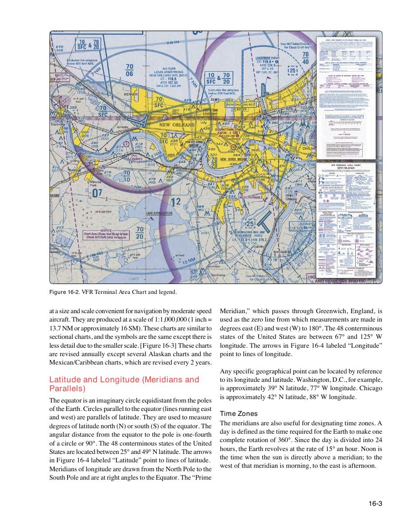
Figure 16-2. VFR Terminal Area Chart and legend.
at a size and scale convenient for navigation by moderate speed Meridian,” which passes through Greenwich, England, is
aircraft. They are produced at a scale of 1:1,000,000 (1 inch = used as the zero line from which measurements are made in
13.7 NM or approximately 16 SM). These charts are similar to degrees east (E) and west (W) to 180°. The 48 conterminous
sectional charts, and the symbols are the same except there is states of the United States are between 67° and 125° W
less detail due to the smaller scale. [Figure 16-3] These charts longitude. The arrows in Figure 16-4 labeled “Longitude”
are revised annually except several Alaskan charts and the point to lines of longitude.
Mexican/Caribbean charts, which are revised every 2 years.
Any specific geographical point can be located by reference
Latitude and Longitude (Meridians and to its longitude and latitude. Washington, D.C., for example,
Parallels) is approximately 39° N latitude, 77° W longitude. Chicago
is approximately 42° N latitude, 88° W longitude.
The equator is an imaginary circle equidistant from the poles
of the Earth. Circles parallel to the equator (lines running east
Time Zones
and west) are parallels of latitude. They are used to measure
The meridians are also useful for designating time zones. A
degrees of latitude north (N) or south (S) of the equator. The
day is defined as the time required for the Earth to make one
angular distance from the equator to the pole is one-fourth
complete rotation of 360°. Since the day is divided into 24
of a circle or 90°. The 48 conterminous states of the United
hours, the Earth revolves at the rate of 15° an hour. Noon is
States are located between 25° and 49° N latitude. The arrows
the time when the sun is directly above a meridian; to the
in Figure 16-4 labeled “Latitude” point to lines of latitude.
west of that meridian is morning, to the east is afternoon.
Meridians of longitude are drawn from the North Pole to the
South Pole and are at right angles to the Equator. The “Prime
16-3