FAA-H-8083-25C · Source PDF page 391
Navigation
Latitude and Longitude (Meridians and · PHAK page 16-4
Searchable transcription
Longitud
Figure 16-4. Meridians and parallels—the basis of measuring time,
distance, and direction.
16-4
e
9900°°NN
7755°°NN
6600°°NN
L
a
t 4455°°NN it u
d
e
3300°°NN
1 5 0 1 W° W ° 5 3 W ° 0 2 1 W ° 5 0 1 W ° 0 9 1155°°NN
EEqquuaattoorr
1155°°SS
3300°°SS
4455°°SS
6600°°SS
75°W
P rim
e
m
e W° 0 5 1 W ° 5 3 1 W ° 0 2 1 W ° 5 0 1 W ° 0 9 6 0 ° W 4 5 ° W 3 0 ° W 1 5 ° W r id ia n 75°W
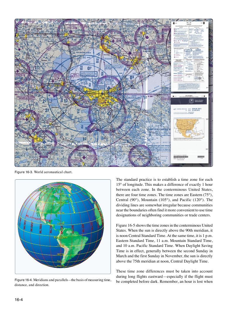
Figure 16-3. World aeronautical chart.
The standard practice is to establish a time zone for each
15° of longitude. This makes a difference of exactly 1 hour
between each zone. In the conterminous United States,
there are four time zones. The time zones are Eastern (75°),
Central (90°), Mountain (105°), and Pacific (120°). The
P rim dividing lines are somewhat irregular because communities
e near the boundaries often find it more convenient to use time
m
e designations of neighboring communities or trade centers. r 6 4 5 3 0 ° 1 5 ° W id ia n Figure 16-5 shows the time zones in the conterminous United 0 ° W ° W States. When the sun is directly above the 90th meridian, it W
is noon Central Standard Time. At the same time, it is 1 p.m.
Eastern Standard Time, 11 a.m. Mountain Standard Time,
and 10 a.m. Pacific Standard Time. When Daylight Saving
Time is in effect, generally between the second Sunday in
March and the first Sunday in November, the sun is directly
above the 75th meridian at noon, Central Daylight Time.
These time zone differences must be taken into account
during long flights eastward—especially if the flight must
be completed before dark. Remember, an hour is lost when